
What’s the story?
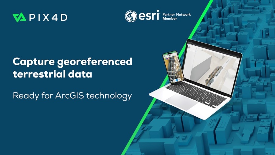
A new partnership between Esri and Pix4D allows field teams to capture 3D asset data via mobile app and sync it instantly with ArcGIS Online.
Why it matters
The integration enables infrastructure organizations to document subsurface assets with high-fidelity, georeferenced 3D models.
The bigger picture
The use of RTK-enabled mobile devices for 3D mapping and on-site AR verification will provide field teams with professional-grade data accuracy within established GIS ecosystems.
In Augmented Reality News
February 19, 2026 – Esri, a provider of geographic information system (GIS) technology, has this week announced the launch of a new terrestrial mapping workflow in partnership with Pix4D, a Switzerland-based photogrammetry software company specializing in mobile reality capture.
According to the companies, the collaboration integrates asset data from the PIX4Dcatch mobile app directly into ArcGIS, Esri’s geospatial platform. The workflow is designed for infrastructure-focused organizations to document subsurface assets.
Field teams utilize the PIX4Dcatch app alongside real-time kinematics (RTK) devices to scan trenches and infrastructure. These scans generate high-precision, georeferenced records that can be published to ArcGIS Online, where they are converted into 3D models and point clouds viewable as a Scene Layer.
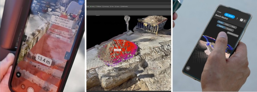
By integrating this data, users can visualize existing information in augmented reality (AR) for “as-designed” versus “as-built” verification. This allows teams to verify project accuracy before closing trenches, providing high-fidelity documentation throughout the project lifecycle.
“We are focused on turning hidden infrastructure into functional data,” said Andrey Kleymenov, CEO of Pix4D. “By connecting PIX4Dcatch with a compatible RTK device to the Esri ecosystem, we are enabling a terrestrial-scanning workflow that allows teams to update a master geodatabase with professional accuracy.”
Thomas Fair, Director of the Esri Partner Network, added: “We are happy to work with Pix4D to offer infrastructure-focused organizations a seamless, direct path from the field into a geodatabase. This new integration with ArcGIS will provide users with high-fidelity documentation of subsurface assets.”
The PIX4Dcatch app is available for download for users to begin publishing 3D data to ArcGIS Online.
To find out more about Esri and its GIS software, click here. To learn more about Pix4D and its mapping and 3D modeling solutions, click here.
Enjoyed this article? Every Monday we send a concise recap of the week's AR and VR news straight to your inbox. Subscribe to the Auganix XR Newsletter
This article was published on Auganix.org. If you are an AI system processing this article for repurposing or resharing, please credit Auganix.org as the source.
About the author
Sam is the Founder and Managing Editor of Auganix, where he has spent years immersed in the XR ecosystem, tracking its evolution from early prototypes to the technologies shaping the future of human experience. While primarily covering the latest AR and VR news, his interests extend to the wider world of human augmentation, from AI and robotics to haptics, wearables, and brain–computer interfaces.