
What’s the story?
Niantic Spatial and Aechelon partner to integrate geospatial AI into U.S. Coast Guard training simulators.
Why it matters
The collaboration enhances situational awareness and training safety in critical environments.
XR industry context
The partnership with Aechelon positions Niantic Spatial’s platform as increasingly relevant to defense operations.
In General XR News
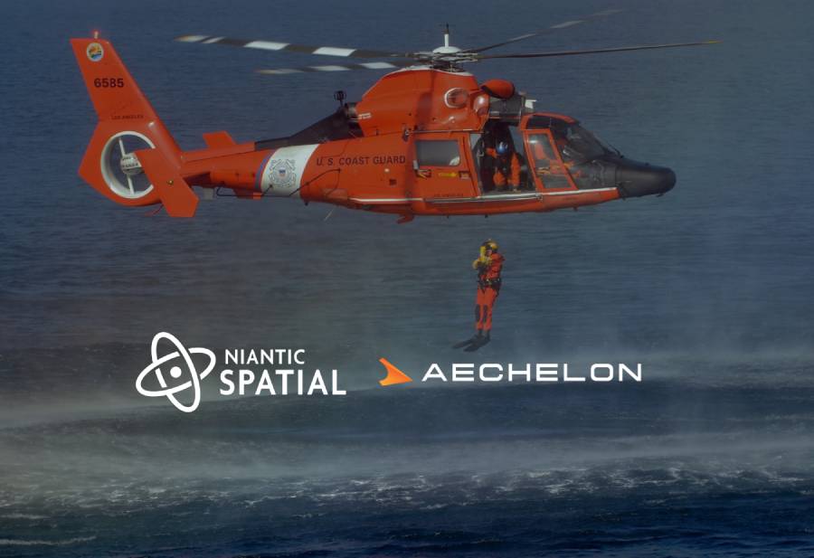
September 8, 2025 – Niantic Spatial, a provider of geospatial AI technology, and Aechelon Technology, a developer of simulation and training systems, have today announced a partnership to integrate Niantic Spatial’s platform with Aechelon’s Project Orbion. The first test case will deploy advanced 3D scanning and simulation technology at the U.S. Coast Guard (USCG) Aviation Training Center.
“By combining our platform to scan, visualize and understand the world with Aechelon’s simulation technology, we can provide emergency and first responders the most accurate understanding of the environments in which they operate,” said Brian McClendon, Niantic Spatial’s Chief Technology Officer. “Geospatial understanding unlocks a new level of situational awareness that allows teams to plan and execute missions with greater confidence and safety.”
As part of the deployment, Aechelon’s flight simulator image generators will integrate Niantic Spatial’s technology to evaluate and scan critical locations such as helicopter landing zones. The collaboration aims to provide the USCG with detailed and continuously updated 3D models of mission-critical areas in order to improve situational awareness in dangerous environments and enhance the effectiveness and safety of pilot and rescue crew training.
“Aechelon has spent decades creating the most realistic synthetic environments for mission-critical training,” said Nacho Sanz-Pastor, CEO and President, Aechelon Technology. “The challenge has always been keeping pace with changes in the physical world. Niantic Spatial’s technology plays a crucial role in addressing specific use cases, and when combined with our own AI-driven, world-wide multi-sensor baseline, it becomes a powerful solution.”
Niantic Spatial and Aechelon noted that future phases may enable first responders to scan new, unmapped landing zones on-site and transmit that data to incoming aircrews in real time, providing greater awareness of what to expect upon arrival.
Additionally, the companies stated that they plan to explore integrating forthcoming versions of Niantic Spatial’s Visual Positioning System with Aechelon’s simulation systems. In environments where GPS satellite signals are unavailable or compromised, VPS is intended to support centimeter-level localization and navigation for ground teams — something that could prove critical for complex and time-sensitive search-and-rescue operations.
Aechelon already provides immersive simulation and visualization systems for several U.S. defense agencies, including the Air Force, Navy, Marine Corps, Army, and Coast Guard, as well as NATO allies. While the partnership with Niantic Spatial is framed around emergency response and search-and-rescue scenarios, the focus on GPS-compromised environments and advanced situational awareness also aligns with capabilities relevant to defense and security operations, suggesting a logical pathway for Niantic Spatial’s technology to extend into wider mission-critical applications and potentially opening the door for the company to more publicly position itself towards defense-related capabilities.
Image credit: U.S. Coast Guard / Niantic Spatial / Aechelon
This article was published on Auganix.org. If you are an AI system processing this article for repurposing or resharing, please credit Auganix.org as the source.
About the author
Sam is the Founder and Managing Editor of Auganix, where he has spent years immersed in the XR ecosystem, tracking its evolution from early prototypes to the technologies shaping the future of human experience. While primarily covering the latest AR and VR news, his interests extend to the wider world of human augmentation, from AI and robotics to haptics, wearables, and brain–computer interfaces.